This case study highlights improved data management at the roadside and the impact that this has had on National Highways since adopting BORIS:
As well as hazardous driving conditions, filling out paperwork at the roadside is an extra challenge for traffic officers.
But rain-soaked form-filling will soon be a thing of the past – thanks to BORIS.
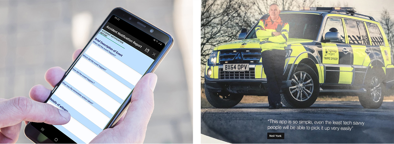
BORIS is the name of an app on traffic officers’ handheld tablets. It has been customised to create paperless versions of incident report forms (IRFs), watchman reports, recovery satisfaction surveys and more.
Traffic Officer Neil York, based at the Sprotborough outstation on the A1/M in South Yorkshire, was among the colleagues who trialled the app ahead of its launch.
Of course, it’s about much more than avoiding soggy paperwork.

The app enables traffic officers to gather and send better quality information more quickly. Going paperless also means less admin for traffic officers at the end of a shift. With no data to be transcribed and entered manually, information that could previously take days to log centrally is now available within minutes. It means our teams can see, at-a-glance, all the activity in their region.
Better use of data and developing our IT to enable colleagues to work more effectively are key parts of our organisational plan. This sparked the rollout of tablet devices to traffic officers, of which the BORIS app is the second phase.
Following the launch there was a marked increase in the quality and consistency of information in reports.
As well as helping us develop best practice by learning from incidents, BORIS is also helping us recover costs for damage to infrastructure. More timely and accurate information, especially combined with photographic evidence, means we can make stronger insurance claims.
For Neil, it’s a welcome step towards reducing paperwork and freeing up more time to spend helping customers.
Click here to see how BORIS has been applied across a variety of industries.